
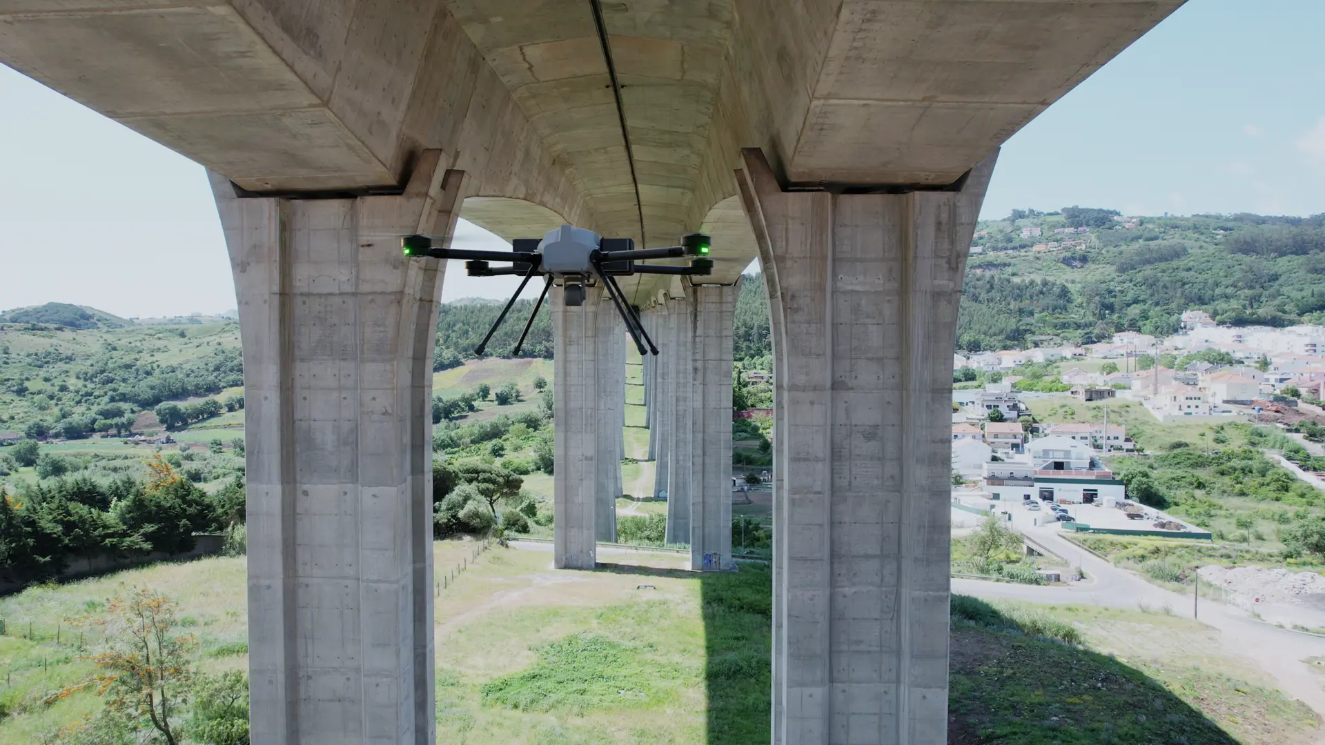
Infrastructure monitoring: *precise and timely data.*
Informed decisions *only.*
Infrastructure failures cost billions and put lives at risk. Beyond Vision's autonomous drone systems provide operators with the data they need to act before problems escalate. Critical infrastructure — including transportation networks, energy grids, urban areas, construction sites, and industrial facilities — requires constant monitoring and maintenance.
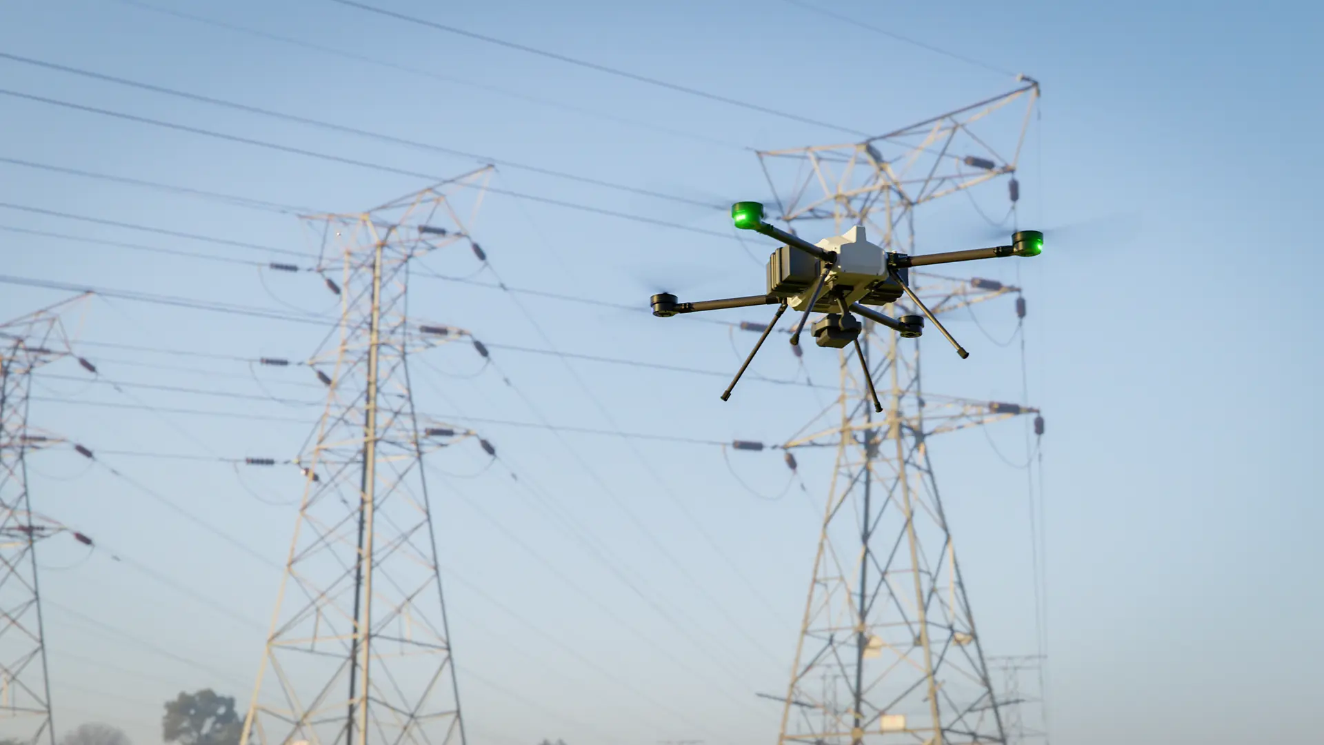
Secure your project's *development.*
Built for the field, designed *for results.*

Real-Time Data, Every Mission
Our UAVs have been designed for sustained performance over long distances, covering expansive operational areas. They provide real-time data collection, enhancing the profitability of planning and bidding processes.

Aerial Mapping That Drives Smarter Decisions
Leverage comprehensive site identification, meticulous aerial mapping, and dependable measurement techniques to optimize precision in project management.

Precision Where It Matters Most
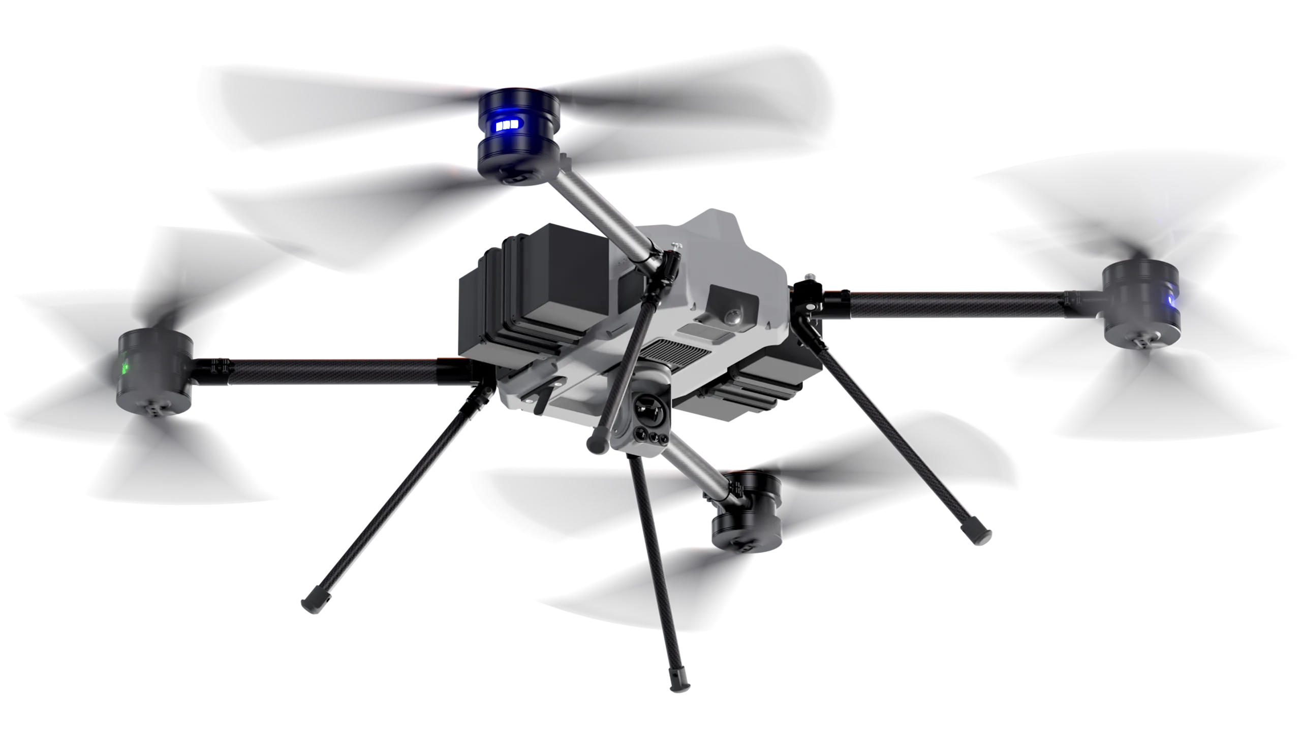
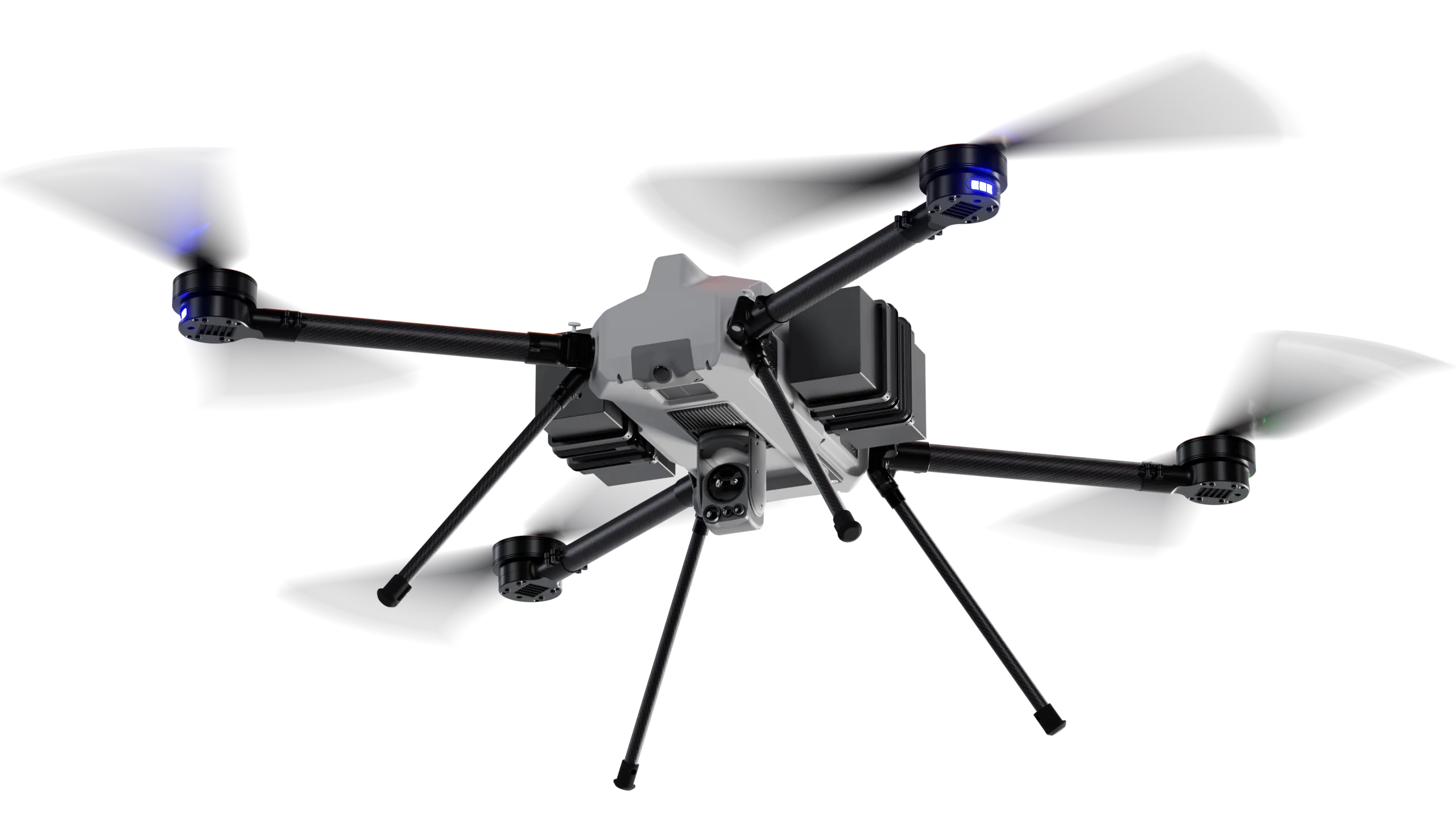
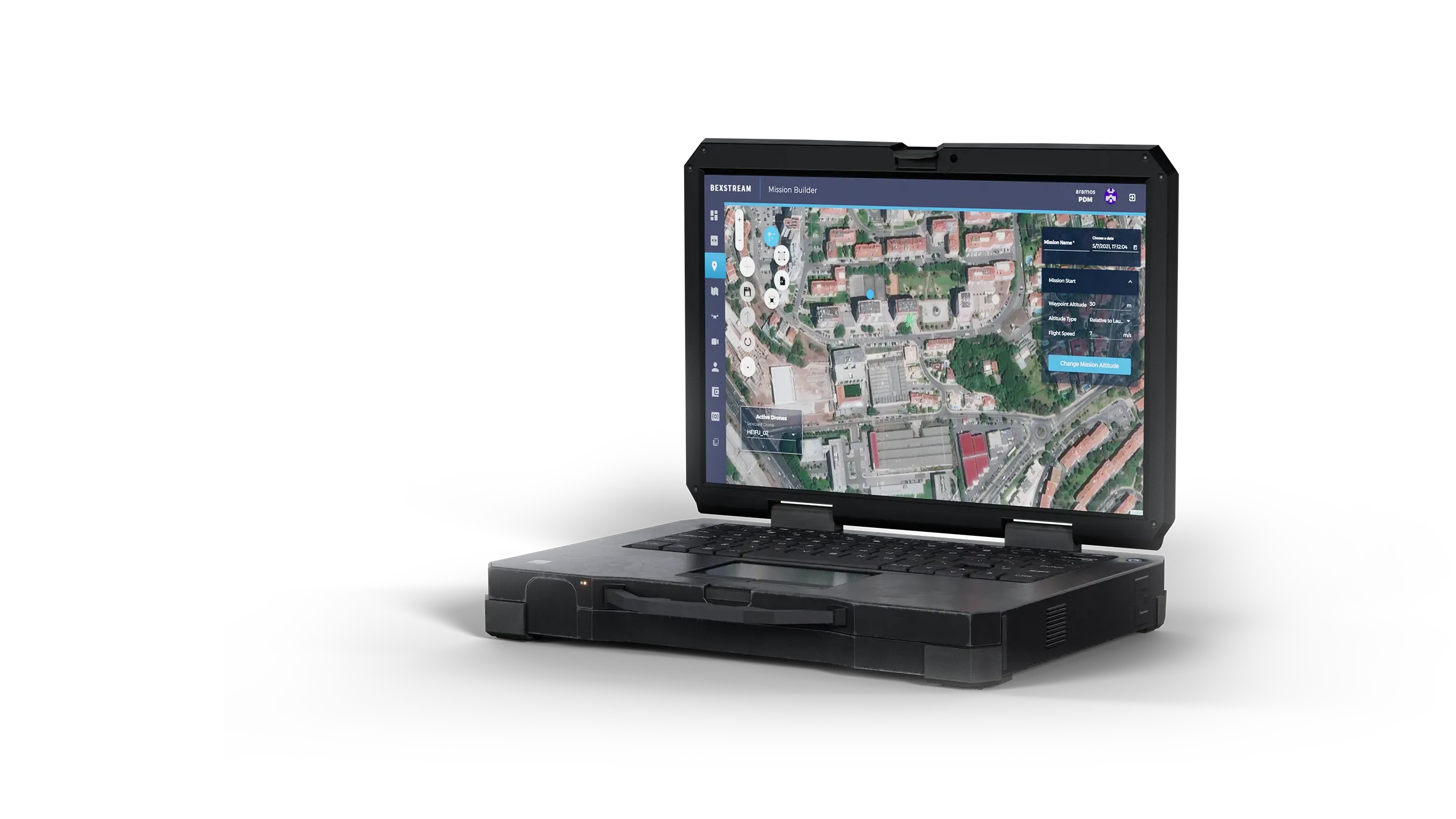
Our drones deliver an integrated aerial inspection capability that reduces risk, improves data quality, and lowers costs through VTOL long-endurance platforms, advanced multi-sensor payloads, resilient communications, and high autonomy.

The high stakes of *infrastructure failure.*
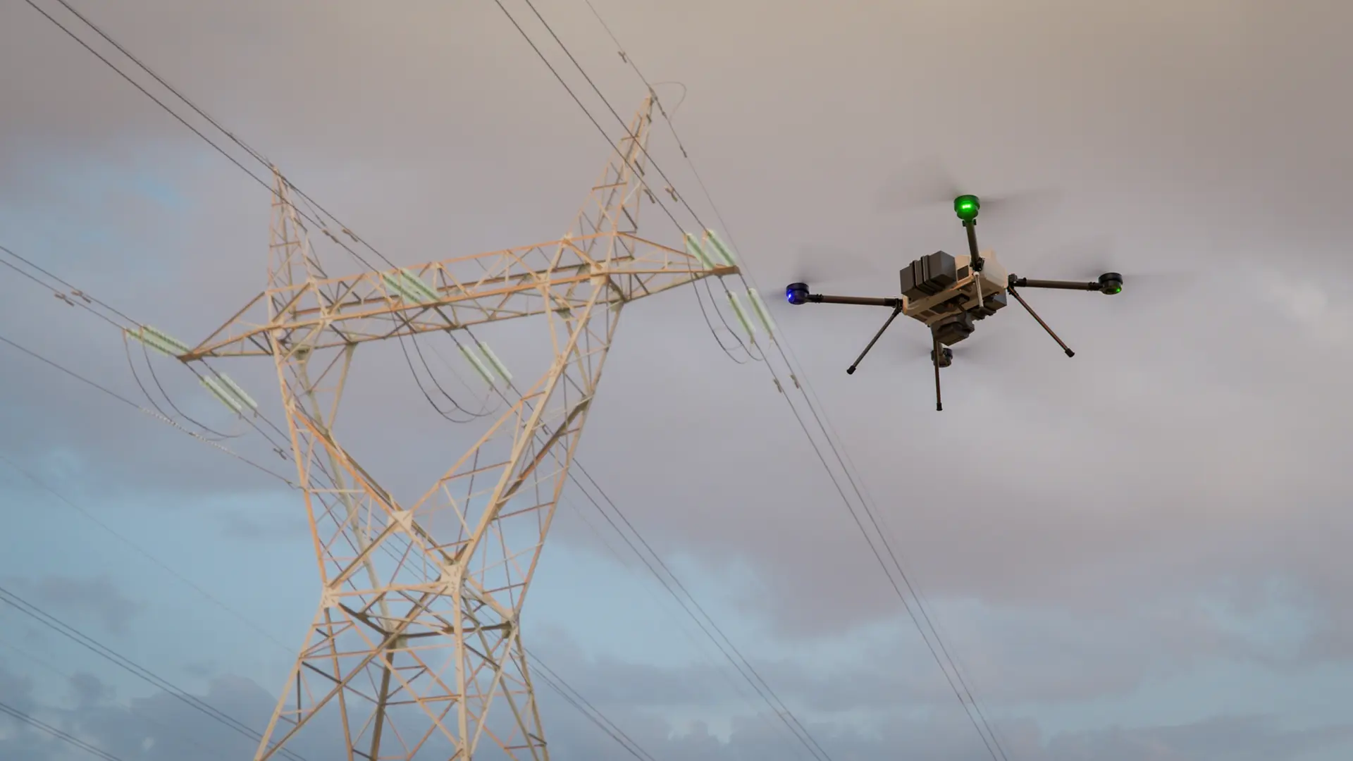
Infrastructure operators need regular inspections to ensure structural safety and operational reliability. Teams often carry out these inspections in remote or hard-to-reach areas. Aerial inspection missions are designed to quickly identify faults, leaks, overgrown vegetation, corrosion, structural damage, or unusual thermal signatures — helping reduce the risk of equipment failure, environmental harm, and other safety hazards.
Talk to our team.
Contact our team to discuss your mission requirements and how our autonomous systems can serve your operations.