
LiDar Navigator
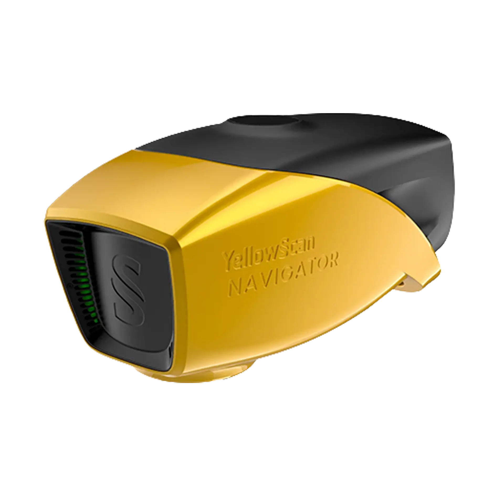
Description
From Land to Water. Continuously Mapped.
An innovative solution for exploring underwater and ground topography with a single-button operation. Its lightweight design allows for versatile platform selection without compromising water penetration.
NDAA Compliant
Features
Compatibility
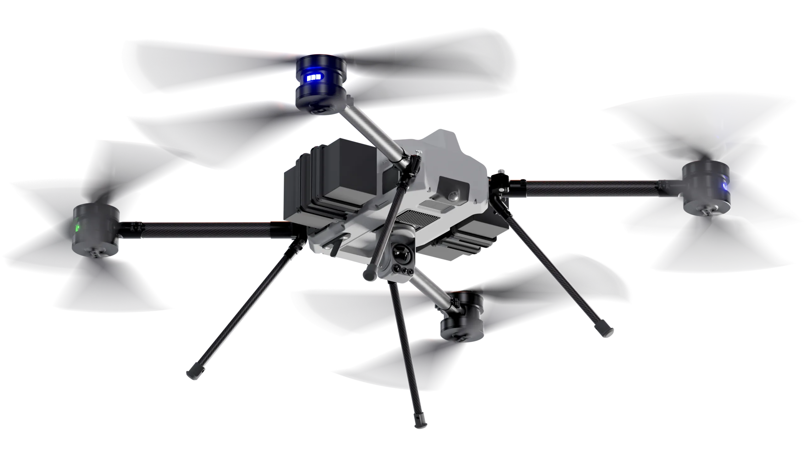
BVQ825
Effective. Robust. Powerful.
BVQ825
interested?
Let’s begin the mission.
Contact our team to discuss your mission requirements and how our systems can fulfill them.